








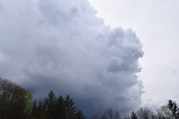
Cloud cover will increase slightly during the first weekend of September, and a cold front accompanied by strong winds will arrive on Saturday. The front may bring scattered showers and thunderstorms, particularly in northern parts of the country. Temperatures will drop by a few degrees Celsius behind the front, but summery warmth is expected to persist in most areas, with clear skies returning, according to a forecast by HungaroMet Nonprofit Ltd.
On Friday, cloud cover will decrease in the west, while it will temporarily increase in the east and northeast, but plenty of sunshine is expected overall. No significant precipitation is forecast, although drizzle cannot be ruled out in some places. Westerly winds will strengthen, becoming strong in some areas. Daytime highs are expected to range between 28 and 33°C.
Saturday will begin sunny, but during the day cloud cover will temporarily increase significantly from the north, bringing scattered rain and showers, with thunderstorms possible in some areas. Southwesterly winds will turn northerly and northwesterly and strengthen across a large part of the country. Morning temperatures will range from 15 to 20°C, while daytime highs will generally be between 26 and 32°C, with temperatures a few degrees higher possible in the southeast.
On Sunday, mostly clear or slightly cloudy weather is expected, with no precipitation. Northwesterly and northerly winds will strengthen, becoming strong in some places. Overnight lows will generally range between 10 and 18°C, dropping slightly below 10°C in sheltered areas. Daytime temperatures are expected to reach 24–29°C.
(MTI)