







With strong, stormy winds, precipitation will arrive on Friday and the temperature will drop by the weekend: on Sunday morning, the air will cool down to between minus 7 and 0 degrees Celsius, and during the day it will not be warmer than 1-6 degrees, according to HungaroMet Nonprofit Zrt.
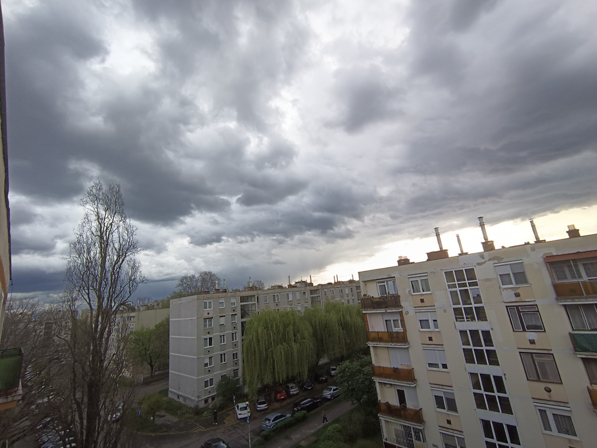
Cloudy and windy weather is to be expected on Friday, the clouds may begin to thin and break from the northwest only after sunset. Rain and showers are expected in many places. The north, northwest wind is mainly accompanied by strong, stormy gusts in Transdanubia. The highest daytime temperature is usually expected to be between 5 and 8 degrees, in the northeast it can be one or two degrees cooler than this.
On Saturday, the continuous cloud cover will move to the southeast, behind it, partly cloudy and sunny weather is expected during the day, but occasional cloud crossings may occur. Precipitation is not expected. The north, northwest wind loses its strength in the afternoon. The minimum temperature will usually be between minus 2 and plus 2 degrees, but the night will be much colder in places protected from the wind and prone to cold. The maximum temperature will be between 3 and 7 degrees.
On Sunday, the sky will cover an increasingly large area from the northwest, but in the morning the sun will shine for an even longer or shorter time in the eastern regions. Mixed precipitation can be expected in more and more places from the west from the afternoon, and snow from the evening. Winds turning south and south-west can be accompanied by brisk, sometimes strong gusts. Temperatures will be between minus 7 and 0 degrees in the morning, plus 1 to 6 degrees in the early afternoon are expected, and it will be coldest in the northeast.
debreceninap.hu