







Several storm cells developed over the eastern part of the country by Thursday dawn. One of them entered Hungary from the southeast, bringing rainfall around Debrecen, followed by another small batch of showers from the same direction.
According to Időkép’s precipitation map, some areas of Hajdú-Bihar County received 5–10 millimeters of rain overnight.
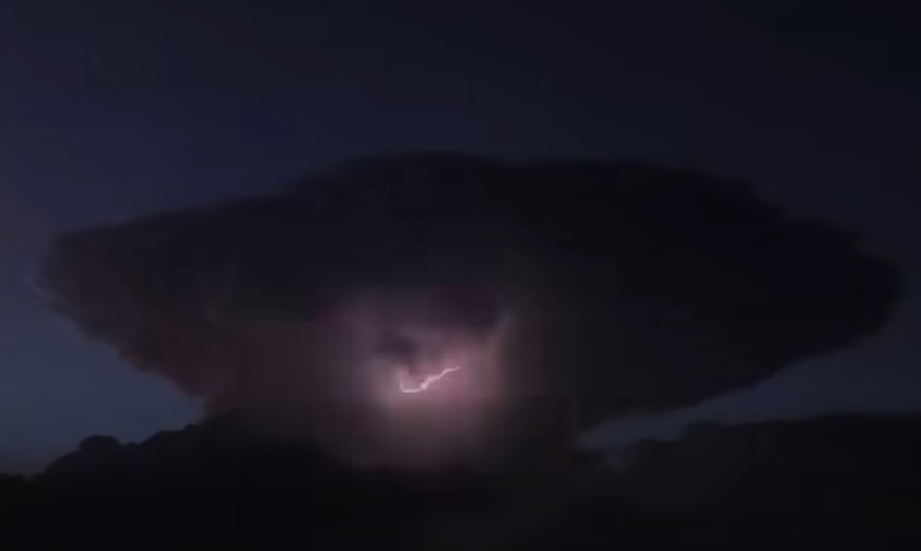
Another cell brought rain to the Tokaj–Tiszalök area, and its cloud formation was visible even from Hajdú-Bihar. Seeing the unusually shaped thundercloud, some people – hopefully only joking – imagined a nuclear strike or some kind of military experiment.
Some also noticed that the intense lightning activity was not accompanied by thunder – most likely due to the distance and the nature of the flashes (cloud-to-cloud rather than cloud-to-ground).
Numerous photos and videos of the phenomenon can be seen under Időkép’s Facebook posts, from Püspökladány through Debrecen to Onga.